PROJECT 2.12: Sea-level projections for NCCARF
The National Climate Change Adaptation Research Facility (NCCARF) developed CoastAdapt, a coastal climate risk management tool, which provides practical guidance on how to manage the risks from climate change and sea-level rise, together with the associated physical, social and economic risks.
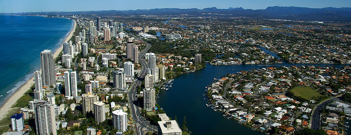
In a project jointly funded by NCCARF, we provided the latest projections of sea-level rise for CoastAdapt. Prior to this project, sea-level rise information was only available for 24 locations around Australia. There are now projections for each of the 255 coastal local government areas in Australia, including all mainland and Tasmanian councils and the Torres Strait Islands.
We also developed information for guidance material and stakeholder workshops to ensure that coastal planners and managers can use the sea-level rise projections to aid in decision making and planning for future coastal change.
Coastal councils can now easily access sea-level projections that are specific to their council area, to feed into awareness-raising, risk assessment, planning and policy-making.
More information: Dr Kathleen McInnes, CSIRO
Publications and products
- Church JA, McInnes KL, Monselesan D, O’Grady J. 2016. Sea-Level Rise and Allowances for Coastal Councils around Australia – Guidance Material. CSIRO Report, 64 pp.
- Fact sheet: Sea-level rise information for councils (PDF)
- CoastAdapt website

