4 September 2017
Information is an important tool in preparing for the impacts of extreme weather events. Understanding the processes at play, how events have unfolded in the past, how they are changing now and how extreme weather may change in the future are essential inputs into planning and policy decisions to reduce the impact of these events.
In Australia, bushfires, tropical cyclones, east coast lows and thunderstorms are familiar extreme weather events that incur significant economic, environmental and human costs. The more knowledge about these events that can be used to inform emergency response, infrastructure design and operation, planning, and decision and policy making, the better positioned we will be to prepare for and be resilient to their impacts.
Hub researchers are using observations of the past and current climate, and model outputs for the projected future climate, to better understand the past and future frequency and intensity of these events. This includes understanding the physical processes that influence the long-term variations in their characteristics. This work will enable the development of practical tools and guidance products for use by planners and decision makers throughout Australia.
Fire weather
Understanding just how extreme current fire weather conditions are is easier thanks to a 67-year daily fire weather climatology produced by Hub researchers. This dataset, which shows how fire weather has changed in Australia since 1950, is being used by the Bureau of Meteorology’s Climate Information Services to produce information products that highlight how extreme fire weather conditions for a period are compared to the past. The dataset is also being used for assessing new climate model projections of extreme fire weather conditions, as well as for assessing the potential for fire weather forecasts from weeks to months ahead.
Tropical cyclones
Climate change projections for Australia suggest that in the future there could be fewer tropical cyclones in our region, but those that do occur might be more intense (while noting that there is still much more to learn more about the factors that influence tropical cyclone activity). Hub researchers are working on ways to develop more detailed and regionally specific tropical cyclone projections to help us plan for and deal with future cyclones with greater confidence. This involves taking a close look at observations of past tropical cyclones to better understand how and where they form and what contributes to their intensity, as well as analysing how well they are represented in global climate models and higher resolution downscaled simulations.
East coast lows
Although fewer east coast lows are expected in the future in general, particularly during the cooler months of the year, we still need to learn about how the intensity of the extreme weather conditions associated with these storms might change. Hub researchers are investigating the processes that drive the development east coast lows and associated extreme weather conditions, as well as of the ability of modelling methods to represent these conditions. This work will lead to increased understanding and greater confidence in projected changes in extreme weather associated with east coast lows.
Thunderstorms
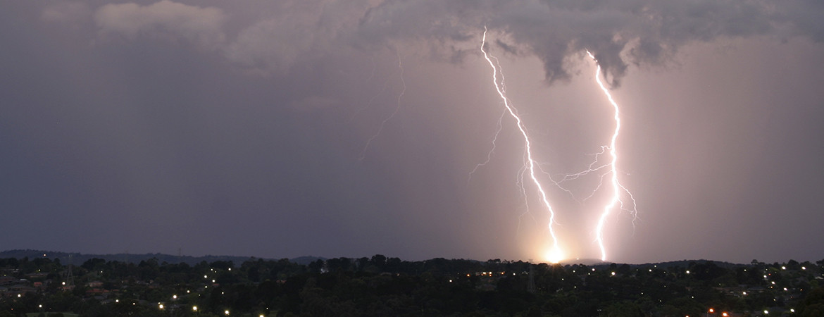
The characteristics of thunderstorms – and the extreme rainfall, winds, hail and lightning that come with them – are expected to change in a warming world. Hub researchers are developing modelling methods to examine the influence of climate change on thunderstorms and associated extremes, with the goal of producing the first-ever projections of these extremes for different regions throughout Australia for direct use in informing planning and adaptation.
Concurrent storms
Tropical cyclones, fronts and thunderstorms can individually have significant impacts, but when two or all three occur at once, these impacts can be amplified. Concurrent storms are relatively rare but account for about half of all extreme rainfall events and a third of extreme wind events. Hub researchers examined occurrences of concurrent storms and found the highest risk of extreme rain and wind events is associated with a triple storm type characterised by concurrent thunderstorm, cyclone and front occurrences, with this type of storm being of particular importance in coastal regions for eastern Australia. As well as improving our understanding of the relationships between thunderstorms, cyclones and fronts, this work is intended to help ‘decompose’ different causes of extreme weather in climate models.
This work was presented at this week’s AFAC 17 conference research forum. For updates on progress see Project 2.8: Extreme weather projections.

